AERIAL PHOTO + MOTION / SELECTED FLIGHTS
DRONE
WORK

HIGHER VIEW. CLEARER GEOGRAPHY.
Aerial photography and motion selected for scale, geography, movement, and story — not height for its own sake.
THE PROJECT
THE PROJECT
The aerial library from Timberline Visuals — 40-plus frames of mountains, deserts, forests, and backroads shot from above — becomes a supporting collection for Dusty Dog Studio’s elevated storytelling lane.
The aerial library from Timberline Visuals — 40-plus frames of mountains, deserts, forests, and backroads shot from above — becomes a supporting collection for Dusty Dog Studio’s elevated storytelling lane.
The aerial library from Timberline Visuals — 40-plus frames of mountains, deserts, forests, and backroads shot from above — becomes a supporting collection for Dusty Dog Studio’s elevated storytelling lane.
Drone pilot, aerial photographer, camera operator, and editor — flight planning, capture, color, and delivery.
Drone pilot, aerial photographer, camera operator, and editor — flight planning, capture, color, and delivery.
Aerial photography, motion capture, and visual curation.
Aerial photography, motion capture, and visual curation.
THE AERIAL TOOLKIT
THE AERIAL TOOLKIT
AERIAL STILLS, WIDE LANDSCAPE FRAMES, AND MOTION REFERENCE MATERIAL.
AERIAL STILLS, WIDE LANDSCAPE FRAMES, AND MOTION REFERENCE MATERIAL.
AERIAL STILLS, WIDE LANDSCAPE FRAMES, AND MOTION REFERENCE MATERIAL.


PLACE, SCALE, AND MOVEMENT
The strongest aerial frame explains the place.
The strongest aerial frame explains the place.
The strongest aerial frame explains the place.
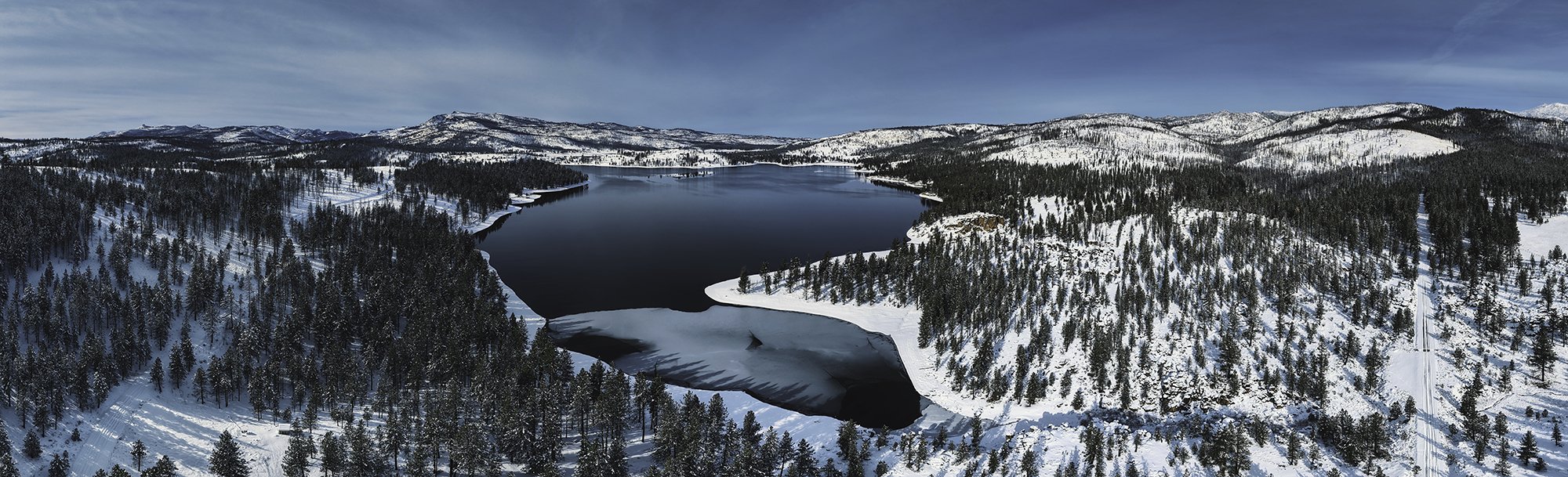
Shoreline, terrain, weather, roads, and human scale create the composition. The collection is edited around perspective and geography so every flight adds information as well as spectacle.
Shoreline, terrain, weather, roads, and human scale create the composition. The collection is edited around perspective and geography so every flight adds information as well as spectacle.


FLIGHT PRINCIPLE
Scale, geography, movement — never height for its own sake.
Scale, geography, movement — never height for its own sake.